Mumbai - Bombay transport map
You can find on this page the Mumbai - Bombay transport map to print and to download in PDF. The Mumbai - Bombay transportation map presents the transports network and transport zones of the transit of Mumbai - Bombay in Maharashtra - India.
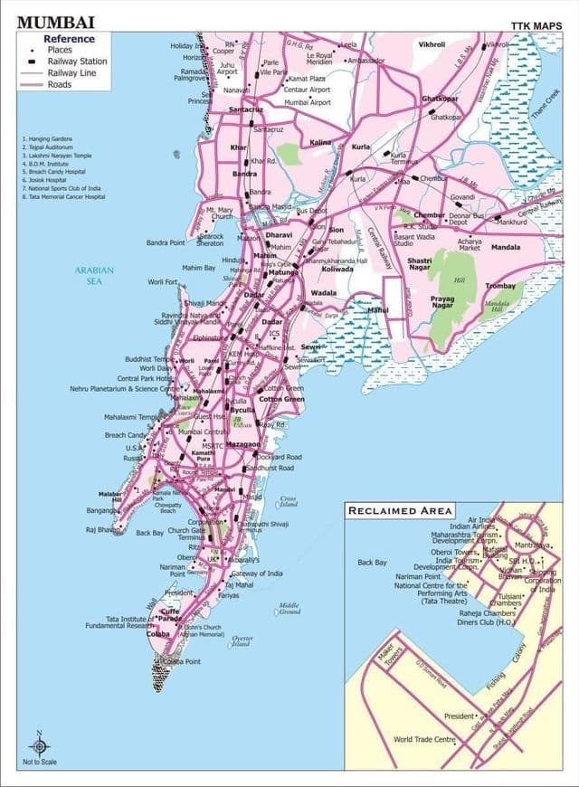
Mumbai - Bombay transports map
The Mumbai - Bombay transport map shows all means of transportation in Mumbai - Bombay. This transports map of Mumbai - Bombay will allow you to move easily with public transport of Mumbai - Bombay in Maharashtra - India. The Mumbai - Bombay transportation map is downloadable in PDF, printable and free.
Public transport in Mumbai - Bombay involves the transport of millions of its citizens by train, road and water. Over 88% of the commuters in Mumbai use public transport (suburban trains or buses) as its shown in Mumbai - Bombay transports map. It is the most convenient, efficient and cheap form of transport to a population largely without sufficient income to afford cars. Mumbai has the largest organised bus transport network among major Indian cities.